Opened in 2013, the 600-acre Good Earth is South Dakota’s newest state park. But its story of goodwill dates back much further. From 1500 to 1700 A.D., Good Earth was the site of intertribal, interconnected villages lining both banks of the river, home to six thousand residents of the Omaha, Ponca, Ioway, and Otoe nations living together in harmony and prosperity.
On a hot July day, we first sought relief in the sleek, new Visitor Center. Far from just being a refuge from the heat, however, the Center told the amazing story of this collaborative ground.
Good Earth had been a prosperous trade center. Its location on both sides of the Big Sioux River, about 75 river miles north of its confluence with the Missouri, gave it trade access with Native Americans across the North American continent. Artifacts found at Good Earth include obsidian from Wyoming and Idaho, chert from southeast Nebraska, and copper artworks from the Upper Peninsula, Michigan. Local artisans made bison robes and carved pipes, decorative tablets and other objects from red pipestone mined nearby, which they in turn traded across the continent.
Although the Good Earth village existed prior to the region’s first contact with Euro-Americans, signs of change were in the air even as Good Earth thrived, as evidenced by archaeological finds. Tribal merchants began arriving with Jesuit rings and Dutch marine shell beads called “runtees,” signaling the Eastern tribes’ increasing contact with explorers, missionaries, and colonists.
The village’s dispersal around 1700 occurred prior to extensive Euro-American presence in the South Dakota region but was influenced by eastern contact. Like dominoes, displaced tribes pressured other tribes westward until tension with the Sioux likely caused the Omaha, Ponca, Ioway, and the Otoe to abandon Good Earth. The Ioway moved south along the Missouri River in Iowa and Missouri, the Otoe to the Platte River in Nebraska, the Omaha and Ponca to southeast and northern Nebraska, respectively.
But the story of Good Earth was never fully forgotten. Even early Euro-American settlers knew that something out of the ordinary had taken place here. Archaeologists drawn to the site on both sides of the river discovered 76 imprints of family and community wooden lodges ranging from 12 feet to 123 feet long. Stone circles, geoglyphs (mythical images carved into the ground) and hammer-pitted boulders, along with pottery and trade artifacts, were eventually unearthed at the site. Stone mauls, hide-scrapers made from deer antlers, and clay pots tempered with ground-up shells were among the food-preparation utensils discovered.
Dozens of burial mounds were likewise identified. A great serpent mound, 1/8 of a mile long, is believed to have existed at the site, but was largely obliterated by an 1800s railroad line and local agricultural plowing.
By 1970 enough modern interest had gathered around the site that it was declared the Blood Run National Historic Landmark, Blood Run being the name of a creek on the Iowa side of the village, named for the red tint its waters picked up from iron oxide during heavy rainfalls.
But officials sought a different name as the South Dakota site moved toward becoming a state park. Park Manager Jim Henning explains there was a concern that “‘Blood Run’ would have a negative connotation, as if something bad had happened here,” when in fact the story to be told was immensely positive. Conversations with the four descendent nations coalesced around “Good Earth,” although that was probably not its literal name.
Good Earth park personnel continue to collaborate with the Omaha, Ponca, Ioway, and Otoe nations. “We meet with them twice a year to talk about plans for the park, and to get their feedback and help on planning our programs. If we want to build a deck or even when we built the visitor center, we had tribal representation on site. We’re proud of that partnership,” Henning reports.
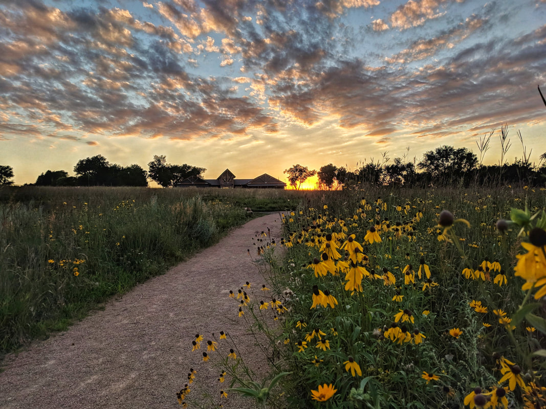
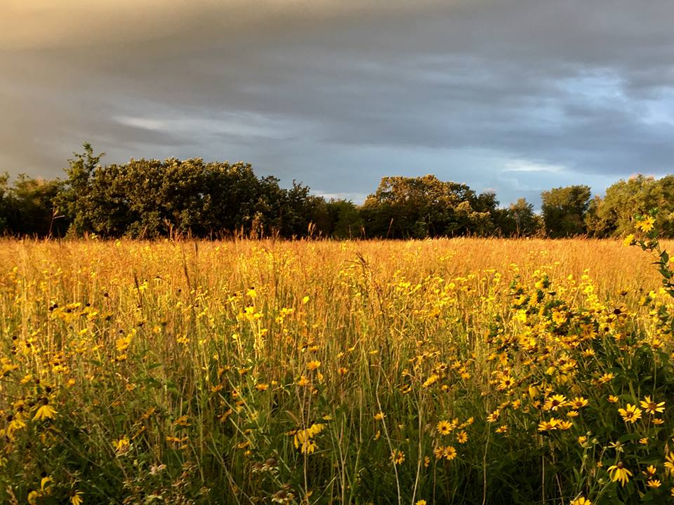
Although the indigenous peoples farmed the land, their agricultural imprint was not as large scale as today. One of the goals of the park personnel is to restore the landscape to what it might have looked like in the 1500s. Henning points to timber stand improvement efforts that have helped bring back and stabilize native hardwood species and 240 acres of re-established tallgrass prairie as movement toward this goal.
Most state parks offer RV camping and other recreational amenities, but Good Earth does not. Instead, there are 11 miles of hiking trails through the prairie, interpretive signs and overlooks, and an education-focused visitor center. The Good Earth mission, says Henning, “is concerned with preserving the area and making sure we take care of it the right way.”
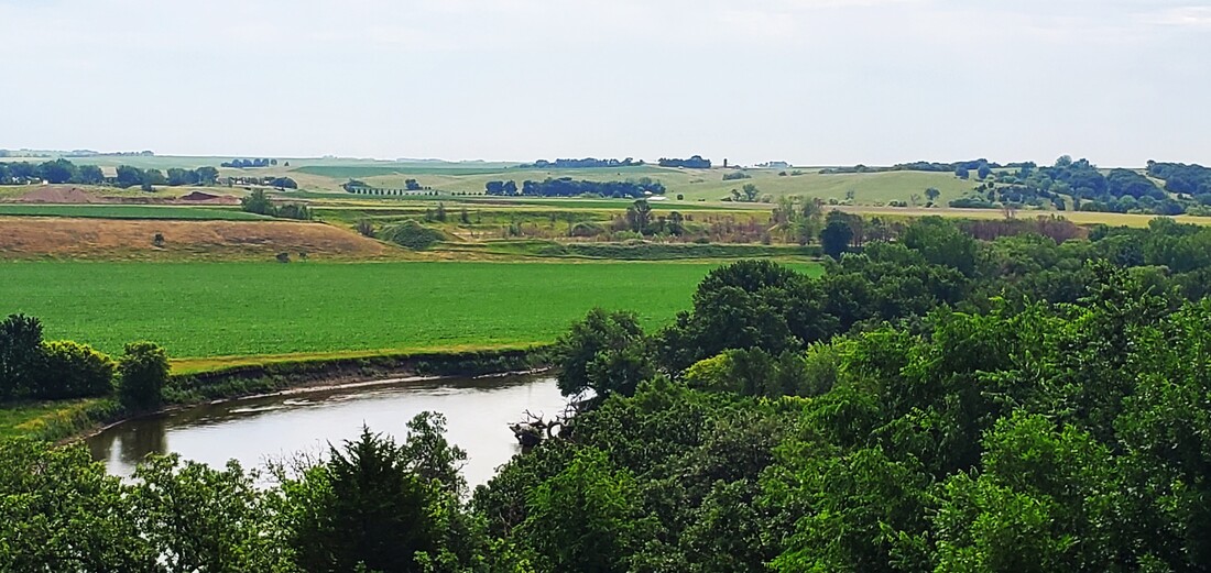
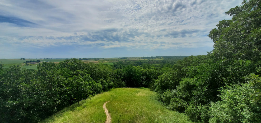
Dianne and I eventually ate our lunch at a pavilion overlooking the prairie and then walked the grounds. The grass paths were warm against our sandaled feet on this hot summer day. The restored prairie blazed with wildflowers on the uplands, and woods outlined the steep ravines and valleys. At an observation deck we looked out over the Big Sioux River and its wide valley across to the farms and silos on the horizon, and thought about the changes that had come across this land.
For two hundred years, Good Earth provided well for the Omaha, Ponca, Ioway, and Otoe nations. Three hundred years later, it is enshrined as a South Dakota state park.
But for Dianne and me, for a single July morning, Good Earth arose on the landscape like a shimmering unexpected gift.
March 2024


