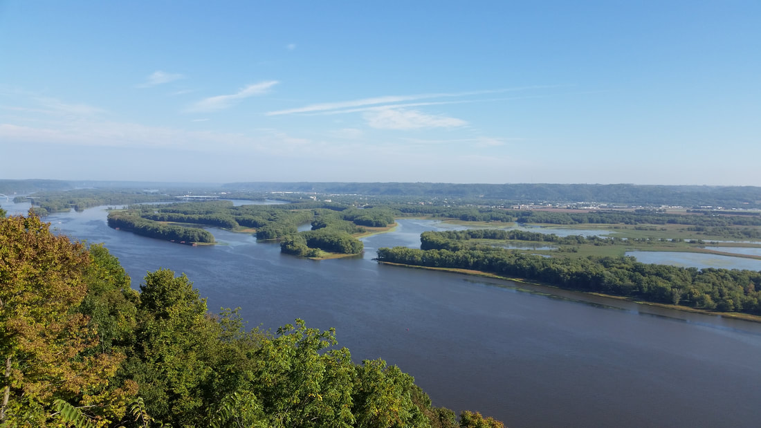
Pikes Peak State Park occupies 590 acres in northeast Iowa’s Clayton County, just south of McGregor. It rests in a region rich in wildlife and cultural history, sharing its Driftless Area limelight with Iowa’s nearby Yellow River State Forest and Effigy Mounds National Monument, Wisconsin’s Wyalusing State Park, and the multi-state Upper Mississippi National Fish & Wildlife Refuge, to name a few. In the early 1900s, the entire region had been proposed as an Upper Mississippi River National Park. While the proposal withered, the lands were protected as separate grounds.
Iowans are often bemused to learn that their state shares a landmark name with the more famous and mountainous Pikes Peak of Colorado. In 1805, a year before he embarked on his westward journey, Captain Zebulon Pike was commissioned by President Thomas Jefferson to explore the upper reaches of the Mississippi River, newly acquired by the United States through the Louisiana Purchase. The expedition mirrored the voyage commissioned to Lewis and Clark on the Missouri River in 1804.
Along the way, Pike explored the bluffs at today’s park and recommended building an army fort there to keep a watchful eye over the newly acquired river, but the U.S. government decided instead to build Fort Crawford a short distance upstream at Prairie du Chien. The decision left the river bluff undeveloped. In 1837 its owner donated the land to the U.S. government for preservation, and the federal government later deeded it back to the state of Iowa. Pikes Peak became a state park in 1935.
Long before Zebulon Pike, the Mississippi-Wisconsin River confluence was chronicled by Fr. Jacques Marquette, as he, Louis Joliet, and their crew became the first Europeans to enter the Upper Mississippi in 1673. Marquette’s journal entry could have been written today as he looked up and down the Mississippi and across to the bluffs from the mouth of the Wisconsin River. “Here we are, then, on this so renowned River….To the right is a large Chain of very high Mountains,…the stream is Divided by Islands.”
How deep Pikes Peak history goes depends on where and when one starts counting. Geological studies date its oldest rock stratus, Jordan sandstone, to ancient seashores 500 million years ago, with intermittent layers of limestone, shale and sandstone stacked upon its exposed bluffs like a seabed layer cake. Meltwater from receding glaciers to the north dug the river wider and deeper and carved out the sheer bluffs as recently as 12,000 years ago.
Dianne and I have encountered Pike’s Peak history along many of its 11 miles of trails. A path leading from the overlook marches past one of three bear effigy mounds located in the park. Sixty additional conical, linear, and composite burial mounds scattered throughout date to the Woodland Period of Native American inhabitance, from 600-1200 A.D.
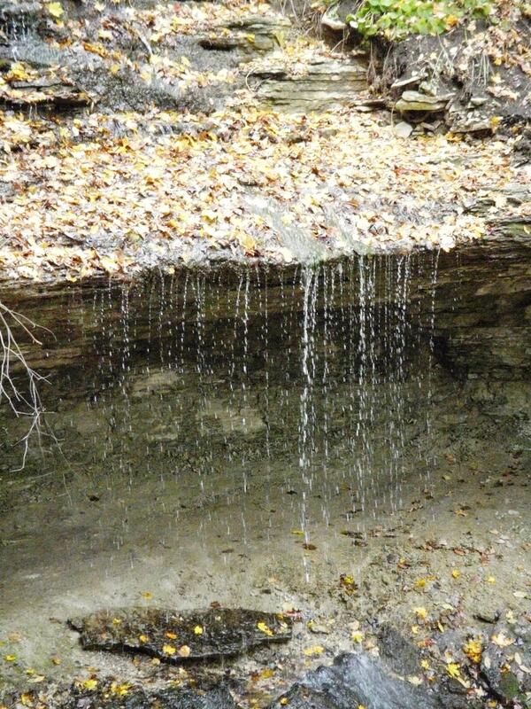
Past the bear effigy, the trail descends the more rugged topography as a boardwalk leading to the Bridal Veil Falls. Here a small stream cascades over a concave, limestone lip and slides down a long, slick, exposed rock face. In between, a softer rock has been hollowed out in an arc beneath the overhang. From here Dianne and I watch the tumbling water from behind the falls.
We’ve visited the park in all seasons and over many years. We camped there early in marriage, we camped when our kids were young, and we’ve camped since they’ve been grown and on their own.
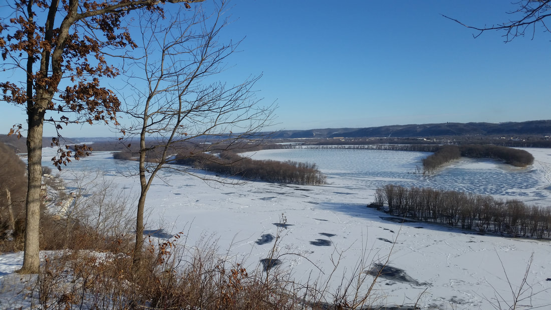
We’ve watched from the overlook in early spring as the season’s snowfall has just begun its release on the bluff and the ice has begun to mottle on the river.
One winter we cross-country skied in below-zero weather to the Point Ann cliff face on the north side of the park. This remote section is far removed from the more-visited Pikes Peak overlook. Under a brilliant, blue sky and protected by forest, we were warmed by our own movement. We removed our skis, though, when we reached the exposed bluff overlooking the river. It didn’t seem like the best location to stand on slippery appendages.
In summer we’ve watched bald eagles, falcons, other raptors ride the thermals above the river beyond the bluffs. Pikes Peak’s dense forest and location on the migratory flyway of the Mississippi River have earned it the designation of an Important Bird Area (IBA).
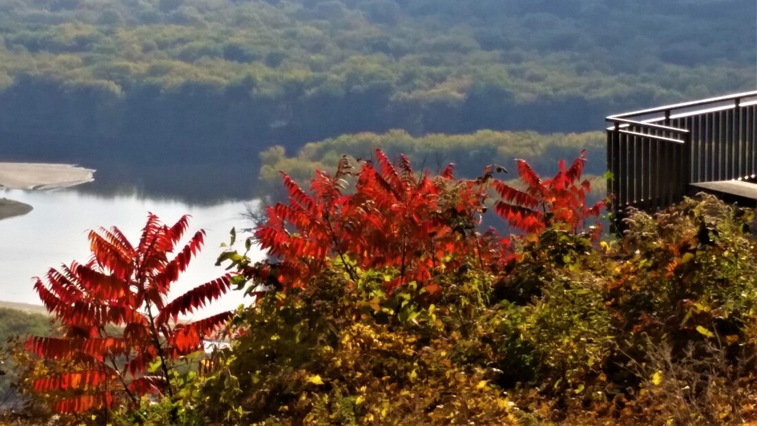
In fall, we’ve taken small groups of students to the overlook, often in tandem with a visit to the nearby Effigy Mounds. These energetic students pause a good long while, taking in the timeless view of the river before their active selves return and they’re laughing, jostling, and taking group selfies.
To know a place, I tell these students, is itself an exercise in layering. At the base is its geological story: how its bedrock formed and how or whether the glaciers carved it. Above that layer is its human past, the earliest inhabitants who lived not far from the edge of the glaciers, the later peoples who built burial mounds on the river bluffs and the tribes who lived here at the time of Euro-American contact and their forced removal. Above that lie the stories of explorers, settlers, and town-builders. The clay is the place as it exists today, and the dear, sweet topsoil is our personal experiences and memories on the land.
With its exposed bluffs visible nearly down to the river, Pikes Peak State Park offers a visual reminder of the layers of place. But we always add a bit more to the topmost layer with another hike or campout.
-- Kevin Koch
March 2022


